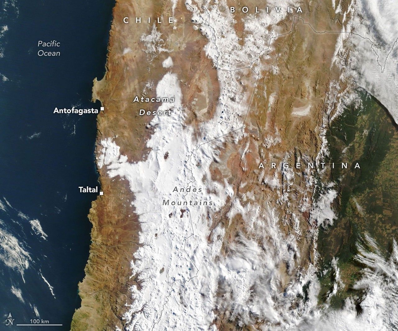
Two winter storms in August 2026 dumped rare, widespread snow across Chile's Atacama Desert, one of the driest places on Earth, with coverage stretching from the Andes almost to the Pacific coast. NASA satellite imagery from Landsat 8 and 9 captured the transformation between August 6 and August 19, showing the hyperarid Chajnantor Plateau turned white.
The coastal city of Taltal recorded nearly 40 millimeters (1.6 inches) of rain in three days, roughly ten times its annual average. The storms also triggered mudflows and flash flooding that damaged hundreds of homes and affected thousands of residents across northern Chile. The ALMA radio telescope and several other observatories on the plateau suspended operations to protect equipment from the snow and strong winds.
Atmospheric scientist Rene Garreaud of the University of Chile said such events happen "only a few times, if any, per decade," following earlier rare snowfalls in 2025 and 2011. Researchers link the August storms to a cutoff low-pressure system that broke away from an unusually large Southern Hemisphere trough, combined with a strengthening El Nino that weakened the subtropical Pacific high and pushed the storm track closer to the equator.